As children move into KS2, pupils extend their knowledge and understanding beyond the local area to include the United Kingdom and Europe, North and South America. This will include the location and characteristics of a range of the world’s most significant human and physical features. They develop their use of geographical knowledge, understanding and skills to enhance their locational and place knowledge.
The 3 themes studied across the year will cover all of the following skills:
The 3 themes studied across the year will cover all of the following skills:
|
Locational and Place Knowledge
|
|
Physical Knowledge
- Use technical geographical vocabulary to describe and recognise patterns of physical geography processes
- On a world map, locate and describe key physical features of areas of similar environmental regions. Including climate zones, biomes and vegetation belts.
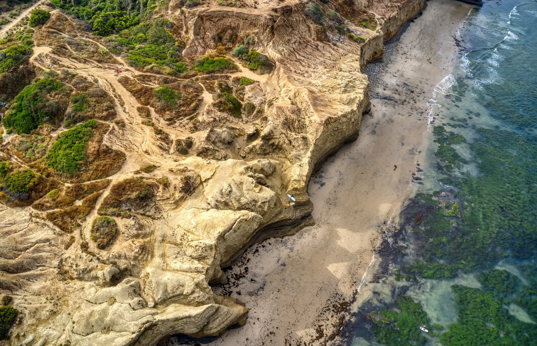
- Describe and understand in some detail key aspects of physical geography and how and why they are changing (coasts)
- Draw a variety of thematic maps based on their own data.
- Begin to draw plans of increasing complexity
- Compare and contrast areas of the UK and wider world by analysing the geographical features on a range of maps, including digital/computer mapping.
- Use a scale to measure distances.
- Draw/use maps and plans at a range of scales.
- Use the 8 points of a compass to plan and follow a route.
- Explain how time zones (including day and night) of different countries around the world affect the human and physical geography of a place.
- Interpret a wider range of geographical information and maps including scale, projections, thematic, and digital maps.
- Locate features using six-figure grid references
- Choose the best methods of collecting, recording and presenting data including taking accurate measurements and representing these in text, graphs and spreadsheets.
- Develop their views and attitudes to critically evaluate responses to local geographical issues or global issues and events.
- Communicate geographical information using a wide range of geographical vocabulary and methods e.g. digital maps, plans, graphs and presentations.
- Pupils with SEND generally study the same curriculum scope as other pupils.
- Teachers have the same level of ambition for all pupils and use specialist advice to adapt teaching approaches where necessary.
- Ensure teaching assistants are well briefed in the geography that is to be learned and the approaches taken.
- Classroom resources eg. maps are adjusted as required to ensure that all pupils take part
Image by wirestock on Freepik

